|
Explanation
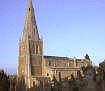
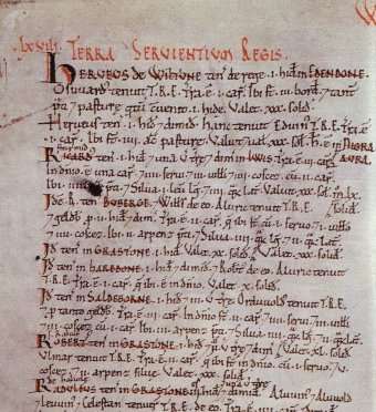
Stoke Hundred
Since way back in the Anglo-Saxon era,
the country's parishes had been split into
administrative districts called Hundreds. At the time of the Domesday Survey, there were 29 Hundreds in Northamptonshire,
and
Cotingeham lay within the Stoke (Stoche/Stoce/Stoc) Hundred.
Click
here to view a hundred map from 1086, plus
details of the latin names given to Cottingham and neighbouring towns and
villages.
Note that Middleton was not
around at the time of the Domesday survey, but can be traced back at least to
1197 when the village appeared in a 'feet of fines'. In this context, fines (or
final concords) were records of
land transfer.
Hundreds were so named because they originally
contained 100 hides.
7 Hides
A hide was both a measure of land and a unit of tax
measurement. Notionally, a hide was the amount of land that would support one
peasant family. It's actual size therefore varied depending on how fertile the
land was, but is estimated to be around 120 acres. If this is this case,
Cottingham would have covered approximately 840 acres, assuming that
there was no waste land (ie. land not fit for agricultural use) in the village that was not assessed for tax.
The word hide comes from the old English
hi(gi)d,
from hiw-, hig-,
meaning 'household'.
Each
hide was split into four virgates, and each virgate
into four furlongs.
Land for
14 ploughs
This is
another measure of land - equal to the amount of land that could be ploughed by
an eight-ox plough team in one day.
In
lordship 2
This
indicates that the Lord of the Manor - the Abbot of Peterborough - retained 2
plough lands for his own use and/or owned two plough teams.
4 slaves
A slave was a
man or woman who owed personal service to another, and was not free to move home
or change their job.
29 villagers and 10 smallholders with 10
ploughs
Villagers and
smallholders were landholders in the village, with a villager having held more
land than a smallholder. There were 39 landholding peasant families (ie. not
individuals) in the village at the time of the Domesday Survey. Between them,
these peasants owned 10 plough lands and/or 10 plough teams.
The
mathematicians amongst you will have noticed that this leaves 2 plough lands
unaccounted for - 14 plough lands, with 2 in lordship and 10 with the villagers
and smallholders leaves 2 spare. It could be that there were 14 ploughlands but
only 12 physical plough teams to work the land.
A mill
This would
have referred to a water mill
Woodland
1 league long and 1/2 league long
A league is a
measure of land equal to around three miles or five kilometres.
The value
was 10s, now 60s
Cottingham
was valued at 60 shillings (£3) in 1086, an increase from its 1066 value of
10 shillings (50 pence!).
As there is no 'owner at the time of King Edward the
Confessor' recorded, we can assume that Peterborough Abbey also owned Cottingham
prior to the Domesday Survey.
|