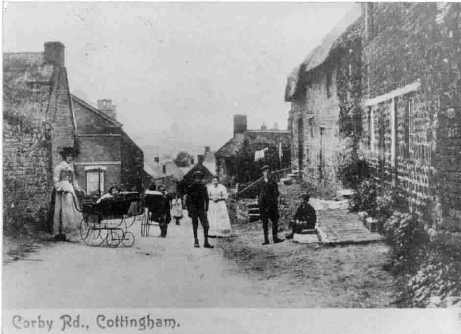
|
Corby
Road lies along the route of the Via
Devana Roman road that ran through the village.
The
crossroads at the centre of the village is still known locally as 'The Cross', which
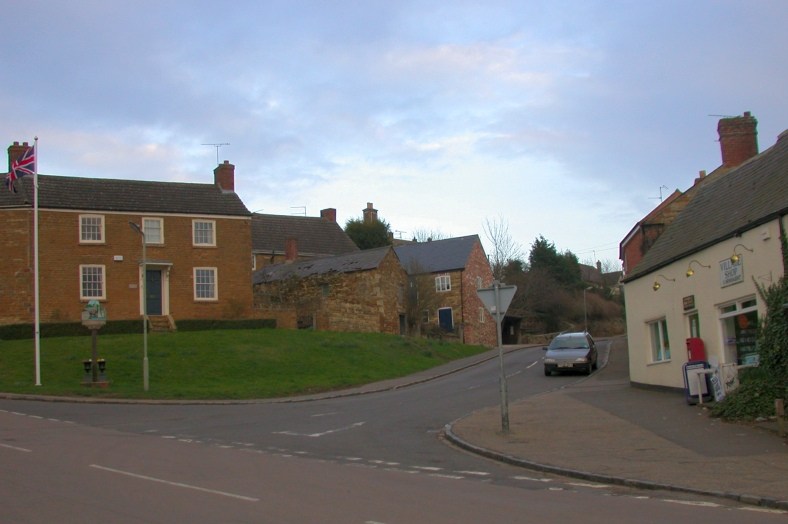
is presumably where the house on the corner of Corby Road - Crossbank House
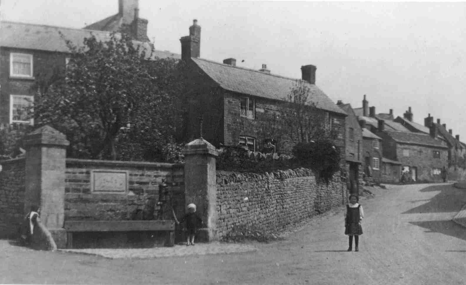
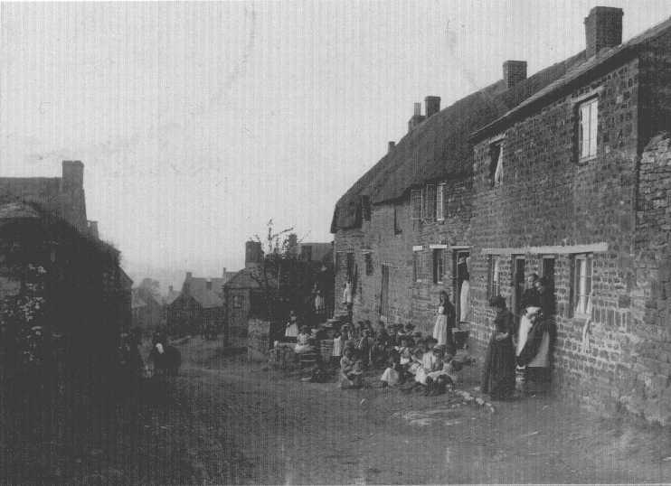
- gets its name. In 1901, the census recorded two dwellings on The Cross, which
would have been in the cottage you can see in the centre of the 1913 picture
below.
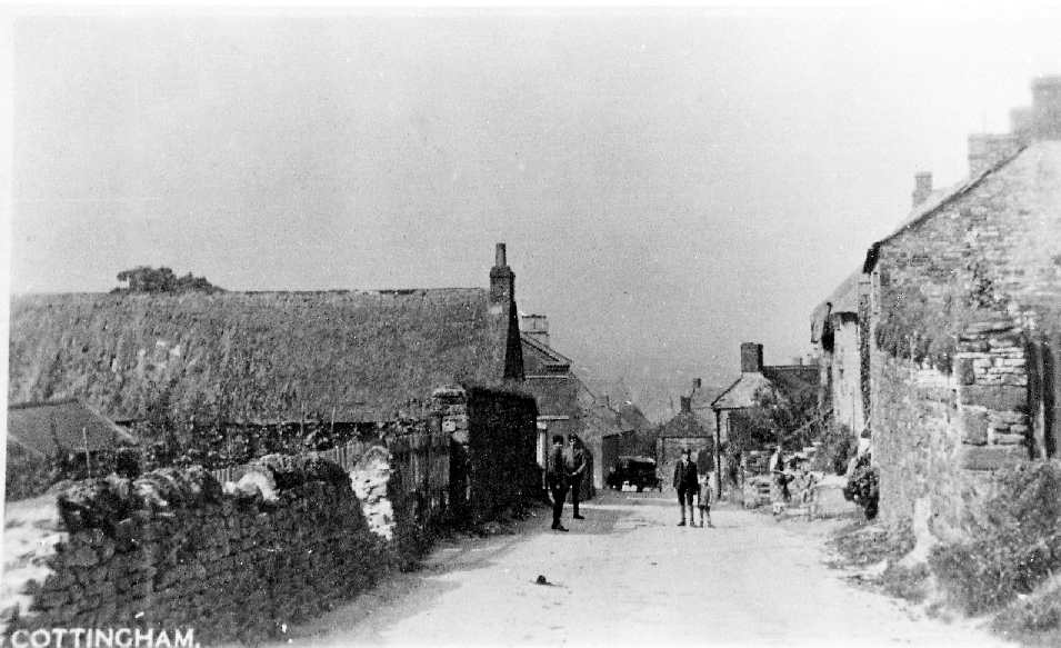
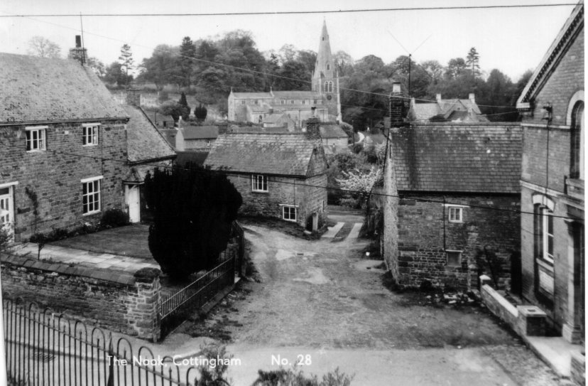
Coming
into the village, the road used to fork to the left and right of the wellhead and wall..
The right hand fork was little more than a track, and is now the footpath leading around the front of Crossbank
House. This road would have passed behind the cottage on The Cross, before it was demolished. You
can see the fork clearly on the 1950s picture below.
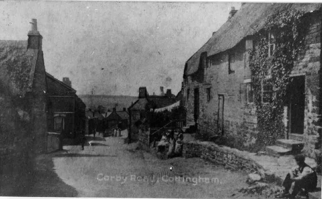
The
triangle of land just behind the wellhead used to be used as an allotment to
grow vegetables, cultivated by a couple living in the old
butcher's
shop on Rockingham Road.
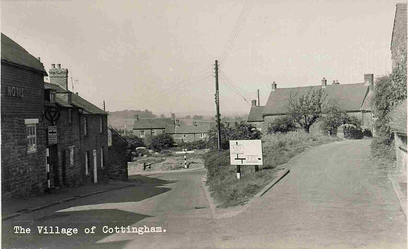
The
top track was turned into a pavement when Corby Road was widened in the 1960s.
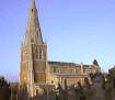
The Cross
|